
Popadyev V. V.1
1 Central Research Institute of Geodesy, Aerial Survey and Cartography, Moscow, Russia
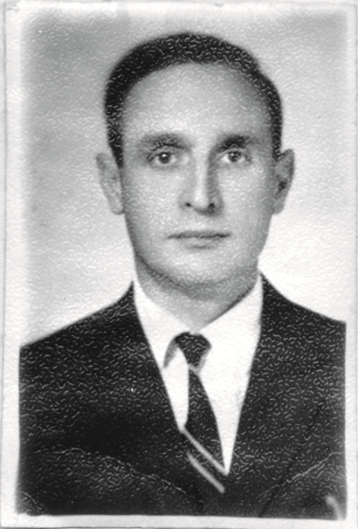
The well-known geodesist Leonard Pavlovich Pellinen (1922–1992) had a huge impact on the physical geodesy throughout the world, for almost half a century he was engaged in the scientific study of fundamental and applied issues of geodesy. Immediately upon the appearance of the first publications by M. S. Molodensky, L. P. Pellinen took up the first practical implementation of the principles of this theory. In particular, his Ph.D. thesis had the name “Investigation of plumb line deviations and the derivation of a quasi-geoid figure in the Caucasus” [Пеллинен 1951]. It holds the simplest and most economical way of joint use of gravimetric and astronomical-geodetic data to determine the shape of the earth's surface relative to the reference ellipsoid. L. P. Pellinen developed the theory of estimating the necessary and sufficient minimum of additional (to the general gravimetric survey of the country) gravimetric observations that ensure the specified accuracy of the astronomical geodetic network and leveling (works of 1960). The longitudinal and transverse shifts of a number of triangulations were estimated, as well as the error in transmitting the quasi-geoid height. It turned out that the errors in the heights of the quasi-geoid, which arise with the accepted calculation methods due to errors in plan coordinates, can exceed the influence of errors in gravity data (works of 1978, 1983).
Taking into account the deviations of the earth's level surfaces from the ellipsoidal shape turned out to be useful in studying the effect of refraction in geodetic measurements and improving the accuracy of trigonometric leveling. It turned out that the slopes of level surfaces relative to the ellipsoid influence the determination of heights in the mountains 20-30 times more than in the flat areas. The non-parallelism of the level surfaces of the reference field can have a greater effect than refraction [Изотов, Пеллинен, 1955; Пеллинен, 1956].
In 1956 L. P. Pellinen headed the studies of the figure and the gravitational field of the Earth, in CNIIGAiK. These works have become more intensive and systematic in connection with the exploration of outer space. In the course of these studies, L.P. Pellinen generalized and practically used jointly astronomical-geodetic, gravimetric and satellite data, which made it possible to obtain the parameters of the mean earth ellipsoid, the normal gravity potential and the expansion coefficients of the geopotential in a series of spherical functions up to the 16th degree, the orientation elements of the coordinate systems. The semi-major axis determined by L.P. Pellinen a = 6378137±14 m practically coincides with the modern value. These studies constituted the doctoral dissertation of L.P. Pellinen (1962). These studies constituted the doctoral dissertation of L.P. Pellinen (1962) and gave rise to the first global model of the Earth's parameters, further developed in the PZ-XX versions of the systems of global geodetic parameters. The review [Pellinen 1965], reflects the common use of the gravimetric and satellite data in geodetic applications and contain 769 bibliographic sources.
In the works of 1962-1969 Pellinen converted Molodensky's corrections into gravity anomalies: instead of a singular integral, which exists in the sense of Cauchy's principal value, the corrections were represented by an absolutely convergent integral. In the 1960s, a discussion arose about the expressions of these amendments. In a 1971 article, L.P. Pellinen substantiated the fundamental identity of the main parts of the corrections proposed by different authors: M.S. Molodensky, V.V. Brovar, M.I. Marych, H. Moritz, i.e. in fact, for near zones, which is what the listed authors had in mind.
To determine the Stokes constants - the harmonic coefficients of the geopotential expansion in a series of spherical functions using ground-based gravimetric data - L.P. Pellinen proposed to introduce corrections for the terrain into the measured values of gravity. This is true when averaging the results over areas, the dimensions of which depend on the desired accuracy of the decomposition and the highest degree taken into account [Пеллинен, 1966].
L. P. Pellinen rationally combined calculations using the Stokes and Vening-Meinesz formulas with the interpolation of gravity anomalies through the selection of the influence of topographic masses. A review of the results of this line of research was given in [Pellinen, 1969]. Distortions of the gravitational field and displacements of the center of the earth's mass associated with topographic reductions do not appear at all or they are negligible. The results of the calculations correspond to a single mass distribution in the body of the Earth. The rational theory made it possible to significantly reduce the correction terms and, in determining them, to reduce the integration to taking into account the nearest neighborhood of the point under study.
The effect of the Earth's flatness on the derivation of the Stokes constants was evaluated in a joint work [Ostach, Pellinen 1966]. It was found that the relative error of the spherical approximation for the coefficients of the nth degree is, on average, αn, where α is the Earth's compression. In the work of 1982, L.P. Pellinen determined corrections for terrestrial compression to the disturbing potential and gravity anomalies and considered the definition of Stokes constants when taking into account compression, derived corrections for the transition from a spherical coordinate system to a geodesic one. The obtained formulas are calculated for an accuracy of about 2 cm when calculating the planetary heights of the geoid from spherical harmonics up to the 200th degree. In the same work, different ways of taking into account ellipsoidality are compared and the solution of the Molodensky problem at sea is considered.
Developing the ideas of A. A. Izotov, L. P. Pellinen correctly defined the role of FAGN in the structure of the state geodetic network of Russia:
“A number of surveyors' proposals over the past 10-15 years have spoken about the relevance of creating a zero-class geodetic network, consisting of several dozen points and representing a framework that implements and maintains a coordinate system in our country ... In a more distant future, it is advisable to organize a permanent service for determining parameters of the Earth's rotation, consisting of 6-12 points (observatories), the work on which should be carried out jointly by various departments. It is these points, or observatories, that will be the main ones both in the study of planetary geodynamic phenomena and in the development of all subsequent geodetic constructions or bringing them into a single system ... The considered constructions will ensure the satisfaction of high requirements for the main geodetic networks as a single spatial complex providing the accuracy is 1-2 m (and even higher in the future). A modern astronomical and geodetic network must be inscribed in a high-precision frame ... It should be emphasized that geodetic networks must be considered as spatial, for radial coordinates in which no less requirements are imposed than for planned ones.”
In the works of 1970, L.P. Pellinen estimated the covariance of the anomalous part of gravity and established the regularity of the change in the power-law variation depending on the harmonic number. These results are useful in evaluating the convergence of the Stokes’ series, the effects of far zones on quasi-geoid heights and plumb-line deviation, representational errors, and gravity interpolation. The works of 1991 considered the joint use of gravimetric and altimetry data in global studies of the Earth's gravitational field.
The result of many years of research by the TsNIIGAiK team to determine the figure and gravitational field of the Earth was summed up in his last publication [Пеллинен, 1992]. It also describes the development of gravimetric work in the USSR and the participation of Soviet gravimetrists in world surveys. L. P. Pellinen led the planning of expeditions for this survey, and was the scientific supervisor of the work. The mentioned article characterizes the gravimetric knowledge of the world by 1962, 1969 and 1977. and derived from these data, the expansion coefficients of the geopotential in terms of spherical functions (respectively, the degree of harmonics), as well as the heights of the quasi-geoid above the common earth ellipsoid and the connection of the geodetic coordinate system with the Earth.
L. P. Pellinen's lectures on theoretical geodesy at MIIGAiK made up a textbook published in 1978 [Пеллинен 1978]. Many works of L. P. Pellinen are presented in this book consistently and in detail.
References
Пеллинен Л. П. Исследование уклонений отвеса и вывод фигуры квазигеоида на Кавказе. Тр. ЦНИИГАиК. 1951. № 86. С. 62—96
Изотов А. А., Пеллинен Л. П. Исследования земной рефракции и методов геодезического нивелирования. Тр. ЦНИИГАиК. 1955. № 102. 176 с.
Пеллинен Л. П. Перспективы применения геодезического нивелирования в горных районах. Геодезия и картография. 1956. № 6. С. 10—18.
Пеллинен Л. П. Геодезическое использование искусственных спутников Земли. Итоги науки и техники. Геодезия. 1965, М., 1967.
Пеллинен Л. П. Методика разложения гравитационного потенциала Земли по сферическим функциям. Тр. ЦНИИГАиК. 1966. № 171. С. 36—62.
Pellinen, L.P. Comparison of different methods for computing the plumb-line deflections in the mountainous areas. Bull. Geodesique 89, 345–354 (1968). https://doi.org/10.1007/BF02525709
Пеллинен Л. П. Согласование различных формул второго приближения для возмущающего потенциала и уклонений отвеса. Геодезия, картография и аэрофотосъемка: Межвед. респуб. науч.-техн. сб. Львов, 1971. Вып. 13. С. 85—95.
Пеллинен Л. П. Вычисление сглаженных аномалий силы тяжести по альтиметрическим и гравиметрическим данным. Физическая геодезия: Сб. науч. тр. ЦНИИГАиК. М., 1991. С. 3—39.
Пеллинен Л. П. О совместном использовании гравиметрических и альтиметрических данных при глобальных исследованиях гравитационного поля Земли. Изв. вузов. Геодезия и аэрофотосъемка. 1991. № 4. С. 68—77.
Пеллинен Л. П. Определение параметров фигуры и гравитационного поля Земли в ЦНИИГАиК. Геодезия и картография. 1992. № 4. С. 29—35.
Пеллинен Л. П. Высшая геодезия. Ч. III «Теоретическая геодезия». М.: Недра, 1978. 264 с.